Hi,
My name’s David and I’m a third year student in the Bachelor of Applied Geographical Information Systems (GIS). As part of my third year project, I built an assets database for the Kidman Trail: a horse riding, mountain biking, and hiking trail which runs through 270kms of the Mt Lofty Ranges, from Willunga to Kapunda. I worked in conjunction with Horse SA, the organisation responsible for managing the trail, on this project. For each asset, Horse SA wanted GPS coordinates, a photograph, and some information about the asset. Assets included things such as direction markers, gates, and trailhead facilities.
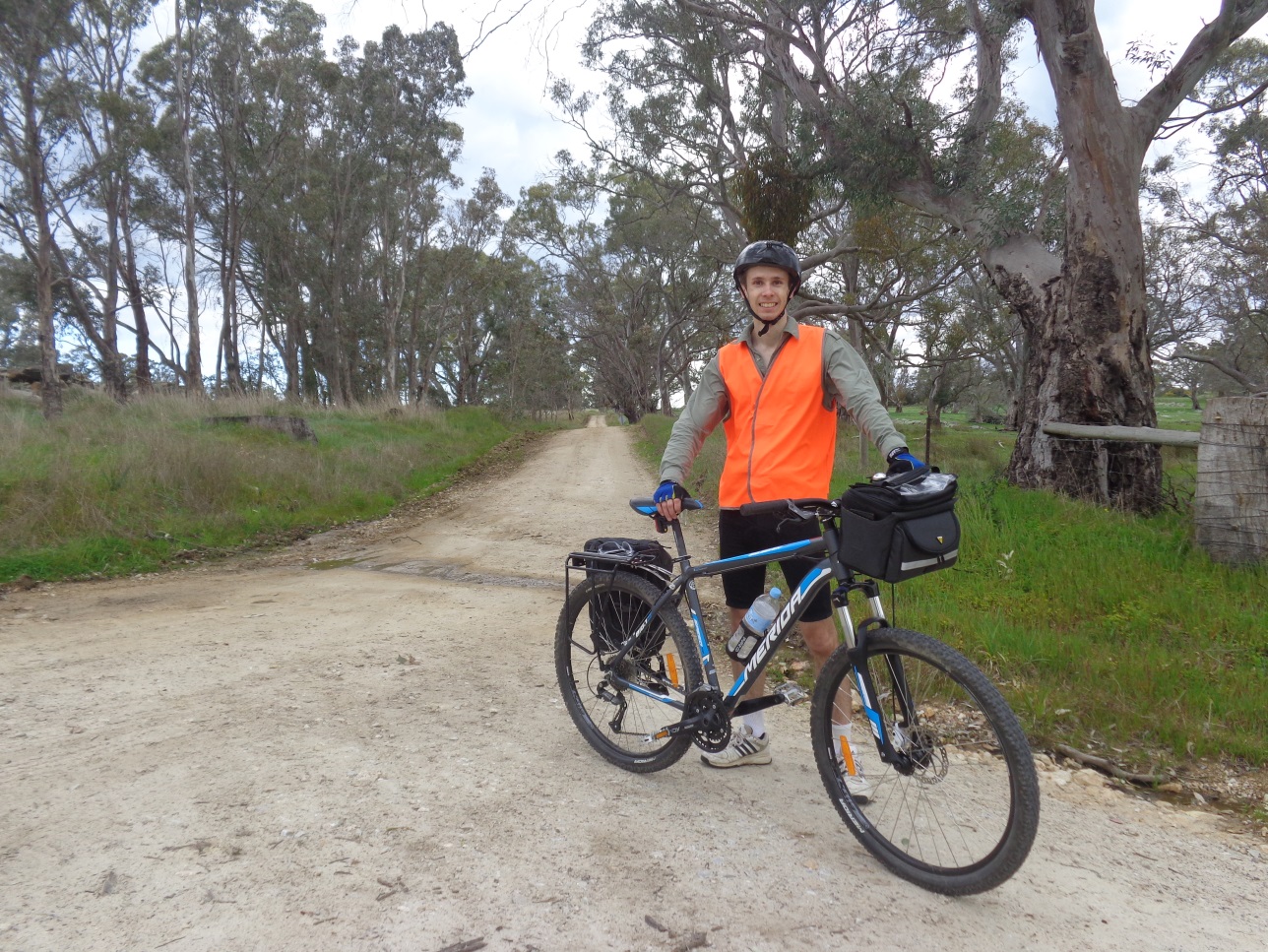
I was lucky enough to ride the length of the trail on my mountain bike, so I could visit and record each asset individually. My lecturer and I set up a smartphone app which allowed me to collect GPS coordinates, photos, and asset information really quickly. It was a really great way to combine my love of both technology, and the outdoors. I often collected assets data without network coverage, so we configured the smartphone app to store the data locally on the device, then sync the data back to the Flinders University server once I had returned from the field. This was a really big advantage! Once the data collection was finished, I checked the positional accuracy of each asset using aerial imagery. We were surprised at how accurate the smartphone GPS was! My lecturer helped me put together a website for Horse SA, which showed all the assets on an interactive map, and contained lots of other useful functions. We also set up a website which allowed the public to report trail problems using their smartphone. You can see it HERE.
Horse SA are really happy with their new assets database and management system. In return they set up some great networking opportunities for me with representatives from local government, who also have an interest in using GIS for asset management. Soon, I am going on an industry placement, which will involve more web mapping and mobile GIS, this time in the Murray Darling Basin area. I’m really excited because it’s a fast growing area in GIS, and one which I really enjoy. Next year I will be applying for jobs which involve similar web mapping activities, and hopefully some more field work!